Fairfax County
McLean, Virginia
An unincorporated part of northern Fairfax County between Tysons and the Potomac, with established single-family neighborhoods, two Silver Line stations nearby, and quick access to the District.
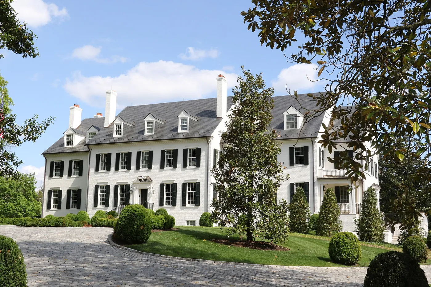
McLean occupies the corner of Fairfax County closest to Washington: bounded by the Potomac on the north, Arlington on the east, and Tysons on the south. It has no town government — it is unincorporated Fairfax County throughout — but it has a strong identity, built on large wooded lots, two high school pyramids, and a drive into Georgetown measured in minutes.
The neighborhoods
Langley, in the north toward the river and the George Washington Parkway, holds some of the largest lots and most wooded streets, along with the CIA headquarters campus that gave the area its shorthand name. Chesterbrook and the neighborhoods around Chain Bridge Road sit closest to Arlington and the bridge crossings. Salona Village and Franklin Park, near the commercial center, are mid-century neighborhoods where a great deal of rebuilding has happened. West McLean runs toward Tysons and the Dulles Toll Road, closest to the Silver Line.
Downtown McLean, along Old Dominion Drive and Chain Bridge Road, is the commercial heart: shops, restaurants, the community center, and a growing number of condominiums, which supply most of the area’s lower-maintenance inventory.
Rebuilding, street by street
Like Vienna, McLean has seen sustained teardown-and-rebuild activity. Older ramblers and split-levels on larger lots are frequently replaced with much larger houses, and the result is a housing stock of very mixed vintage — a 1958 house and a 2024 house side by side, priced accordingly. For sellers of older homes, the land is often the asset; for buyers, it is worth understanding what the rest of the block is likely to become.
Schools
Fairfax County Public Schools serves all of McLean, divided mainly between the McLean and Langley high school pyramids. Both are a significant part of why buyers purchase here, and the line between them runs through the area rather than around it, so the assignment for a particular address is worth confirming with FCPS before anything else.
Getting around
Route 123 and Georgetown Pike (Route 193) carry local traffic, I-495 runs through the middle, and the George Washington Memorial Parkway follows the Potomac toward the District and Reagan National Airport. Two Silver Line stations, McLean and Tysons, opened in 2014 on the area’s southern edge. Chain Bridge and Key Bridge put Georgetown a few miles away. Georgetown Pike also runs west past Scott’s Run Nature Preserve toward Great Falls Park.
Buying or selling here
This is a high-price, low-inventory market where lot, pyramid, and condition drive value, and where new construction competes directly with well-kept older homes. Buyers should be clear about which pyramid they want and how much house versus land they are paying for; sellers benefit from understanding whether their buyer is an owner-occupant or a builder.
Communities in McLean
- Langley
- The northern section toward the Potomac and the George Washington Parkway, with large lots, wooded streets, and the CIA headquarters campus at Langley.
- Chesterbrook and Chain Bridge
- Established single-family neighborhoods closest to Arlington and the Chain Bridge crossing into the District.
- Salona Village and Franklin Park
- Mid-century neighborhoods close to downtown McLean, many rebuilt with larger new homes.
- West McLean
- Neighborhoods toward Tysons and the Dulles Toll Road, convenient to the Silver Line and Route 123.
- Downtown McLean
- The commercial center along Old Dominion Drive and Chain Bridge Road, with shops, restaurants, and newer condominiums.
Schools
McLean is served by Fairfax County Public Schools (FCPS) and feeds the McLean and Langley high school pyramids, along with their feeder middle and elementary schools. The boundary between the two runs through the area, so confirm the current attendance area for a specific address with FCPS.
Commuting
Route 123 (Dohrn Chain Bridge Road) and Route 193 (Georgetown Pike) are the main roads, with the George Washington Memorial Parkway along the Potomac, I-495 through the middle, and the Dulles Toll Road to the west. Two Silver Line stations serve the area from its edges — McLean station near Route 123 and the Toll Road, and Tysons just beyond — and the Chain Bridge and Key Bridge crossings put Georgetown and downtown Washington within a short drive.
Market
McLean is among the most expensive markets in Northern Virginia, and its inventory reflects that: large single-family homes on wooded lots, a steady stream of teardown-and-rebuild construction on mid-century streets, and a smaller supply of townhouses and condominiums near the commercial center and Tysons. Buyers are paying for proximity to the District, the school pyramids, and lot size. Because so much of the housing stock is being replaced piecemeal, condition and vintage vary widely within a single neighborhood.
Common questions
Is McLean a town?
No. McLean is an unincorporated community in Fairfax County with no separate town government, so county services and county taxes apply throughout. The name covers a broad area from the Potomac down to the Dulles Toll Road.
Which schools serve McLean?
Fairfax County Public Schools, split mainly between the McLean and Langley high school pyramids. Both are well regarded and both draw buyers to the area, but the dividing line runs through McLean, so the assignment for a specific address should be confirmed with FCPS rather than assumed.
Does McLean have Metro?
Yes, on its edges. The Silver Line’s McLean station sits near Route 123 and the Dulles Toll Road, and the Tysons station is just beyond, both opened in 2014. Most of McLean’s residential streets are a drive rather than a walk from a station.
What is at Great Falls Park and Georgetown Pike?
Georgetown Pike (Route 193) is a designated Virginia Byway running west from McLean toward Great Falls, past Scott’s Run Nature Preserve and on to Great Falls Park, where the Potomac drops through a series of falls and a narrow gorge. It is one of the area’s best-known outdoor destinations.
How close is McLean to Washington?
Very. The Chain Bridge and Key Bridge crossings put Georgetown within a few miles, and the George Washington Parkway follows the Potomac into the District. That proximity, combined with the schools and the lot sizes, is most of what the McLean market is priced on.
Current McLean listings are available through my search site.
Last updated 2026-09-07.